
Specialists in Remote Sensing
2Excel Geo provides end-to-end remote sensing solutions from data capture to data delivery and everything in between. Our team of specialists have particular expertise in the acquisition and processing of hyperspectral imagery to support environmental applications.
Full stack remote sensing, from collection to delivery.
Our hyperspectral and true colour airborne platform enables collection over large areas at high resolution. Our custom algorithms and domain expertise extract the information that you need in a format you want.
Our Expertise
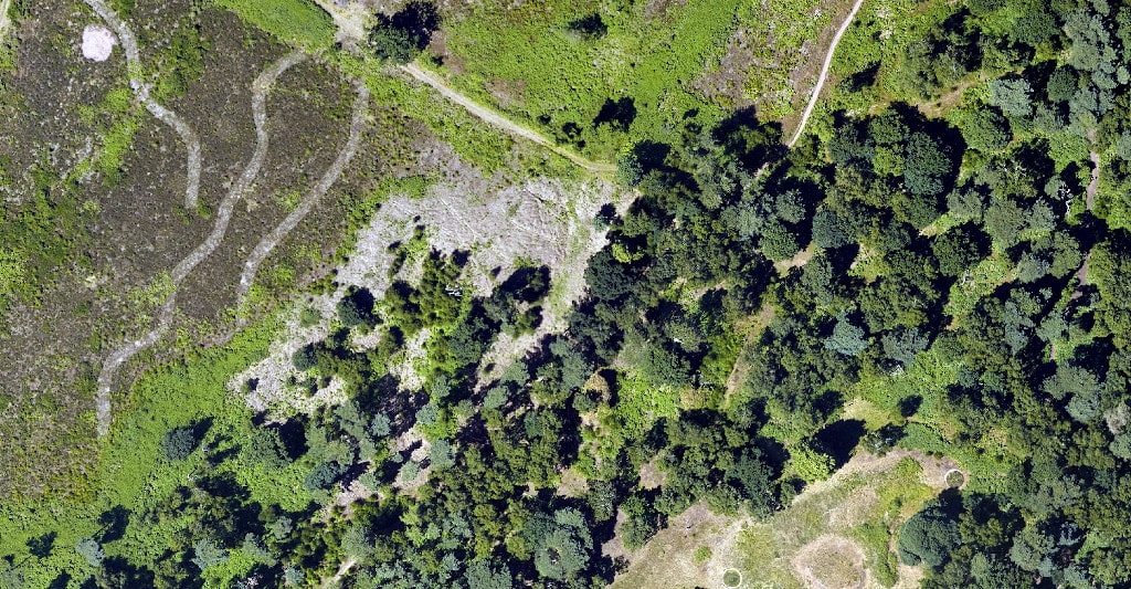
2Excel Geo specialise in the acquisition and processing of airborne hyperspectral imagery. Our unique set of in-house software provides high-quality hyperspectral outputs analysed by our team of experts to produce useable maps and datasets that inform a range of environmental management activities.

Hyperspectral and RGB Imagery
2Excel Geo provide simultaneous capture of aerial photography and hyperspectral imagery from our own airborne platform. Data processing is completed in-house by our specialist team to provide analysis ready datasets.

Tree
Management
Hyperspectral data can provide useful information regarding the biochemical and physical properties of vegetation. 2Excel Geo have combined this capability with domain expertise to provide scientifically informed tree management tools including our Tree Health Map.
Land
Management
2Excel Geo provide data capture and analytical capability to support land management and geological applications of hyperspectral imagery. Our expert team have leveraged the spectral resolution of our hyperspectral instruments for the assessment and detection of land contaminants and mineral deposits.

Habitat
Management
The capabilities of hyperspectral data to identify subtle differences in vegetation characteristics can be applied to classifying vegetation into specific habitat groups of classes. High-level habitat maps can subsequently be used to assess habitat fragmentation or inform habitat management and restoration activities.

Remote Sensing Rhododendron
Remote Sensing Rhododendron Using hyperspectral imagery to identify rhododendron.Dr Gary Llewellyn Remote Sensing Consultant at 2Excel Geo Gary has a PhD and first class degree (Hons) from the University of Southampton. He has over 20 years of experience in...

Our first month at 2Excel Geo as Remote Sensing and Geospatial Analysts
Our first month at 2Excel Geo as Remote Sensing and Geospatial Analysts An insight into starting a career at 2Excel Geo. by Jasmine Cartwright and Katie Payne | Dec 13, 2021 | Company News Jasmine Cartwright Remote Sensing and Geospatial Analyst Jasmine has a...

Starting an Internship During Lockdown
Starting an Internship During LockdownKlara Halikova Intern at 2Excel Geo Klara has a BSc in Ecological and Environmental Sciences from the University of Edinburgh. Klara's role at 2Excel involves comparing which UK habitat classification systems are more...
Want to find out how Geo can unlock
added potential in your business?
